A map made for the trail, the official topo maps you already trust and your own PDF maps,
all on your phone. No data plan, no account, no one watching where you go.
🏔️
A map drawn for the outdoors
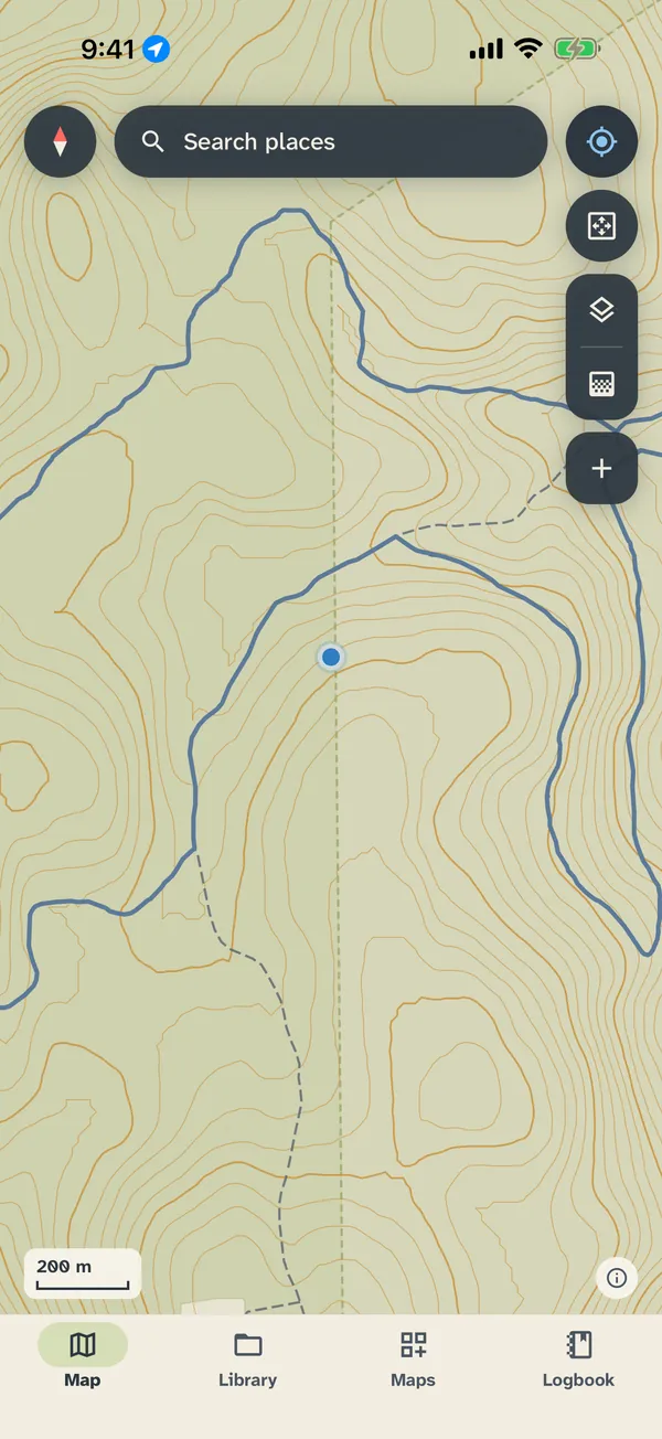
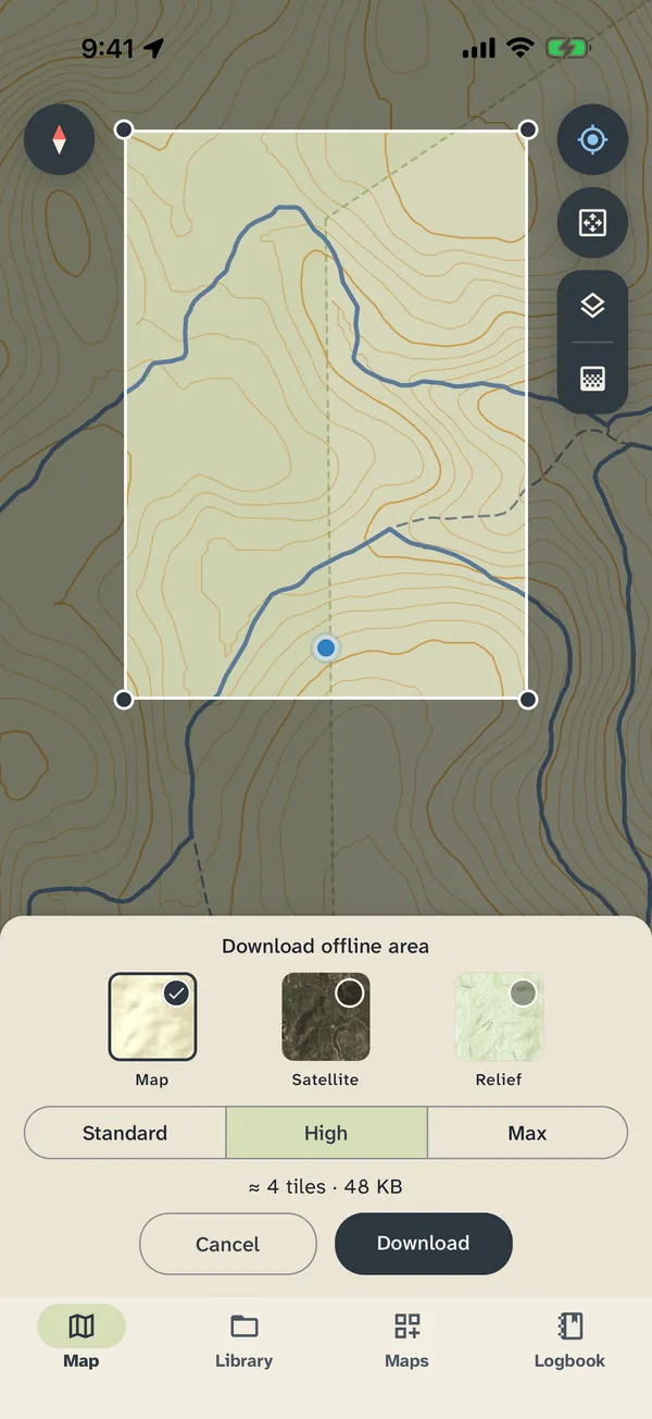
A clear map of the whole world with contour lines marked with their height and named
peaks with their elevation. Download an area and it all works with no signal.
🗺️
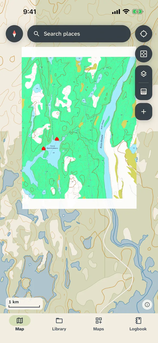
Bring your own maps
Import georeferenced PDF maps and see your live GPS position right on them: park maps,
topo sheets, ski trails, anything.
🧭
Explore free topo maps
About 79,000 free topographic maps from USGS, Natural Resources Canada, the US Forest
Service and Geoscience Australia. Browse them by activity or terrain, or see what
covers the area around you.
🌲
Parcs Québec
In Explore, the Parcs Québec collection lists Québec’s national parks and wildlife
reserves, nearest first, and takes you to each one’s maps on
sepaq.com.
🔄
Import your activities
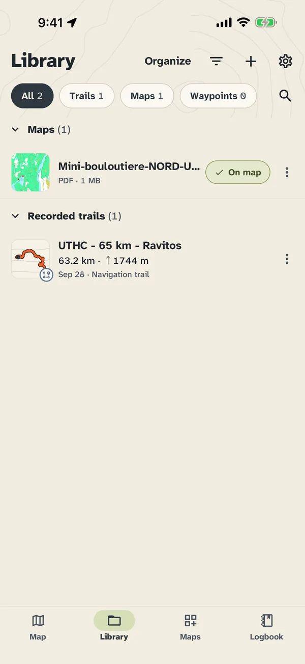
Bring in your outings from Strava, Apple Health or Health Connect, or from FIT, GPX
and TCX files. Imported activities stay on your phone.
📍
Record your routes
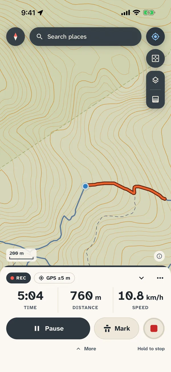
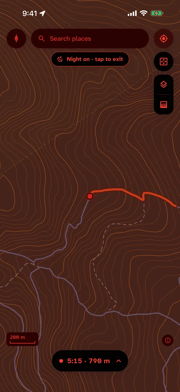
Track live time, distance and elevation gain and loss. Save and share every outing as
a standard GPX file. A night red display saves your eyes after dark.
📈
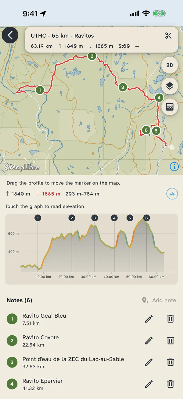
Elevation profiles
Every trail gets an elevation profile you can scrub through, with notes and photos
pinned along the way.
🖨️
Map maker
Frame any area, pick a scale and page shape, and choose which trails and waypoints go
on it. You get a map you can print or use in the app.